UAV LiDAR
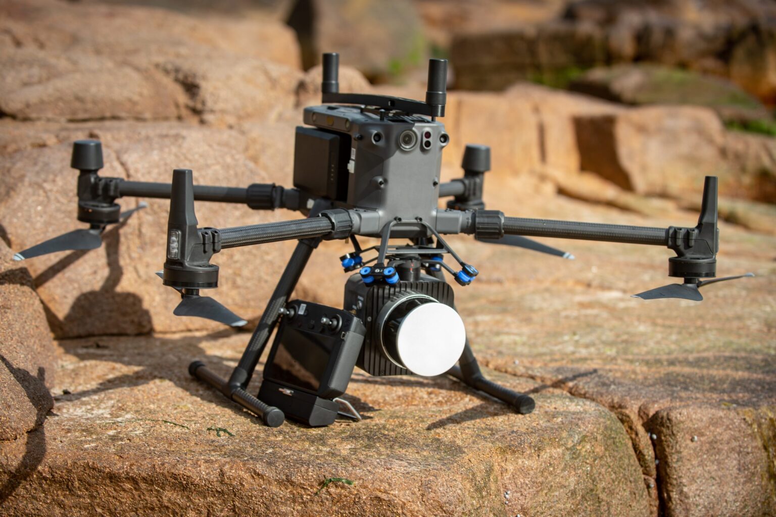
Upgrade your geospatial data collection with next-gen UAV LiDAR that redefines scanning /surveying with its super lightweight, extreme ease of use, affordability, and accuracy. Nextcore turn-key solution just requires you to fly a mission, upload the data along with your base station or GNSS data and process. The process is simple, fast, effective. You can control your point density, point distances, swath, etc in one simple-to-use program. The system is capable to be flown at higher altitudes, reducing scanning time and increasing the safety margin between the drone and obstacles on the ground like trees and powerlines.

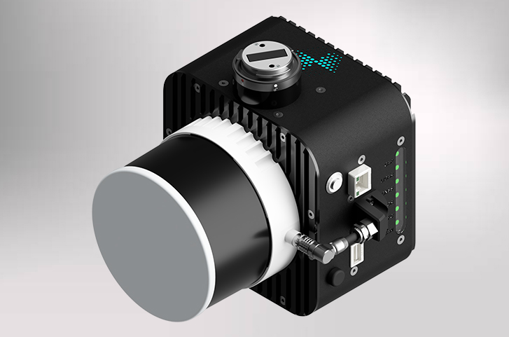
Lumos XT
Survey grade data at 120 metres above ground level 30 mm precision and 40 mm accuracy (RMSE) Higher safety margin for pilots in forested areas and steep terrain 100 metre AGL 120 m system range Scan up to 80 hectares in a single flight 2-year warranty Automatic calibration

Lumos XM
Cover a larger area Fly for a longer duration Data collection with excellent accuracy and greater detail for high frequency models 30 mm precision and 40 mm accuracy 300 m system range 120 m AGL Triple return One-stop post-processing Tight point clouds with great reflectivity and extract key features
Doing both aerial and land surveys? No need for separate sensors! Lumos is a two-in-one scanner that also fits on vehicles!

Chroma
Parallel image capture device to the Lumos LiDAR scanner 24.3MP camera and 25mm standard lens that can be configured shutter based on distance or time at 30- 1/4000 exposure 25mm lens Designed as a plug-and-play for standard Lumos scanning missions Precise timed photogrammetry images for colourization, photogrammetry, and orthomosaics PPK solution to 1 ms accuracy
